
Ms. Abena Boatemaa Asare-Ansah
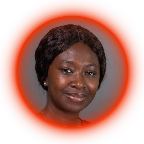
Geospatial AI and Earth Observation Specialist with 9+ years of experience turning satellite data into decision-ready products for food security, climate resilience, and humanitarian response across Sub-Saharan Africa and the United States. Develops end-to-end, cloud-scale geospatial pipelines spanning reference-data development, multi-sensor processing, machine learning, statistical inference, and integration of satellite data with household, climate, and refugee population data to address real-world policy and development challenges.
